5201 TWINING RD
JACKSONVILLE, FL 32210
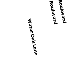
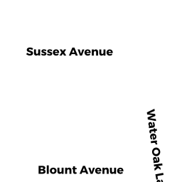
Neighborhood Map


Property Details
This property is classified as Residential (Single Family).
The lot is 30427 square feet, the land value of which is assessed at $285,000.00.
There is one building on the property.
It was built in 1961.
This property is valued at $484,428.00.
The legal description of this lot is: "42-3S-26E".
Sales and Assessment History
| Date | Details |
|---|---|
| 6 / 2017 | $355,000.00 Single Family Book 18038, Page 1167 |
| 5 / 2017 | $100.00 Single Family Book 17995, Page 2249 |
| 2017 Assessment | WATSON KENNETH R changed from |
Flood Data
This property is partially within the AE Zone (within floodplain). Approximately 0.92 acres (97.44%) of the property is within this zone.
The base flood elevation for this flood zone is 4.0 feet.
This information is sourced from the FEMA National Flood Hazard Layer. See our full disclamer.
Registered Voters
| Voter | Address | Gender | Age | Party | Status |
|---|---|---|---|---|---|
| Watson, Karen L (DUV 103836066) | 5201 Twining Rd Jacksonville, FL 322108232 | female | 63 | Republican Party of Florida | Active |
| Watson, Kenneth Ray (DUV 103854999) | 5201 Twining Rd Jacksonville, FL 322108232 | male | 63 | Republican Party of Florida | Active |
| Watson, Benjamin Adam (DUV 121688579) | 5201 Twining Rd Jacksonville, FL 322108232 | male | 27 | Republican Party of Florida | Active |
These listings are address-matched and not guaranteed to be correctly linked to a property.
Source: Florida Division of Elections
Learn more about Jacksonville through our Voter Demographics page.
Share
Ownership Information
WATSON KENNETH R
5201 TWINING RD
JACKSONVILLE, FL 32210
Adjacent Properties
- 4531 SUSSEX AVE #6 (Southeast)
FOERSTER SALLY K - 4559 SUSSEX AVE (South)
NORRIS WILLIAM V - 4567 SUSSEX AVE (South)
CORNETT AIMEE M - 5129 HARBOR POINT CIR (Northwest)
BURNS LINDA M TRUST