39 LA GORCE CIR
Miami Beach, FL 33141
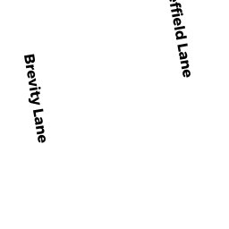
Neighborhood Map


Property Details
This property is classified as Residential (Single Family).
The lot is 21200 square feet, the land value of which is assessed at $3,260,875.00.
There are 2 buildings on the property.
It was built in 1940.
This property is valued at $3,912,627.00.
The legal description of this lot is: "LA GORCE ISLAND PB 34-83".
Sales and Assessment History
| Date | Details |
|---|---|
| 2021 Assessment | RYAN SCHINMAN changed from |
| 12 / 2020 | $3,800,000.00 Single Family Book 32280, Page 1230 |
| 4 / 2018 | $100.00 Single Family Book 30930, Page 3963 |
| 2018 Assessment | NINA C ELLENBOGEN RAIM TRS changed from |
| 3 / 2016 | $100.00 Single Family Book 29989, Page 2733 |
| 2016 Assessment | IANNA RAIM STERENFELD changed from |
Flood Data
This property is completely within the AE Zone (within floodplain).
The base flood elevation for this flood zone is 8.0 feet.
This information is sourced from the FEMA National Flood Hazard Layer. See our full disclamer.
Registered Voters
Search for "RYAN SCHINMAN" in Florida's Voter Registry.
Learn more about Miami Beach through our Voter Demographics page.
Share
Adjacent Properties
- 41 LA GORCE CIR (North)
RYAN SHINMAN - 31 LA GORCE CIR (South)
31 LA GORCE CIRCLE LLC