570 SABAL PALM RD
Miami, FL 33137
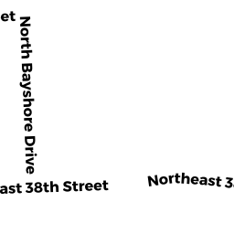
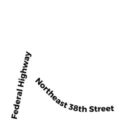
Neighborhood Map


Property Details
This property is classified as Residential (Single Family).
The lot is 26272 square feet, the land value of which is assessed at $2,364,480.00.
There is one building on the property.
It was built in 1954.
This property is valued at $2,998,822.00.
The legal description of this lot is: "19 53 42".
Sales and Assessment History
| Date | Details |
|---|---|
| 2020 Assessment | GARRY TOUSSAINT TRS changed from |
| 10 / 2019 | $100.00 Single Family Book 31819, Page 2634 |
| 2 / 2015 | $2,800,000.00 Single Family Book 29514, Page 3729 |
| 2015 Assessment | GARRY TOUSSAINT changed from |
| 1 / 2012 | $990,000.00 Single Family Book 27981, Page 3798 |
Flood Data
This property is partially within the AE Zone (within floodplain). Approximately 0.71 acres (100.00%) of the property is within this zone.
The base flood elevation for this flood zone is 10.0 feet.
This information is sourced from the FEMA National Flood Hazard Layer. See our full disclamer.
Registered Voters
| Voter | Address | Gender | Age | Party | Status |
|---|---|---|---|---|---|
| Toussaint, Garry (DAD 110073871) | 570 Sabal Palm RD Miami, FL 33137 | male | 54 | Florida Democratic Party | Active |
| Toussaint, Esmosette (DAD 117477394) | 570 Sabal Palm RD Miami, FL 33137 | female | 75 | Florida Democratic Party | Active |
| Bennett, Jean-Claude Misha (DAD 120572654) | 570 SABAL PALM RD MIAMI, FL 331373374 | male | 42 | No Party Affiliation | Active |
These listings are address-matched and not guaranteed to be correctly linked to a property.
Source: Florida Division of Elections
Learn more about Miami through our Voter Demographics page.
Share
Adjacent Properties
- 580 SABAL PALM RD (East)
580 SABAL PALM ROAD LLC - No Address (South)
None - 560 SABAL PALM RD (West)
ALFREDO ANDRES